Aerial Survey 2017
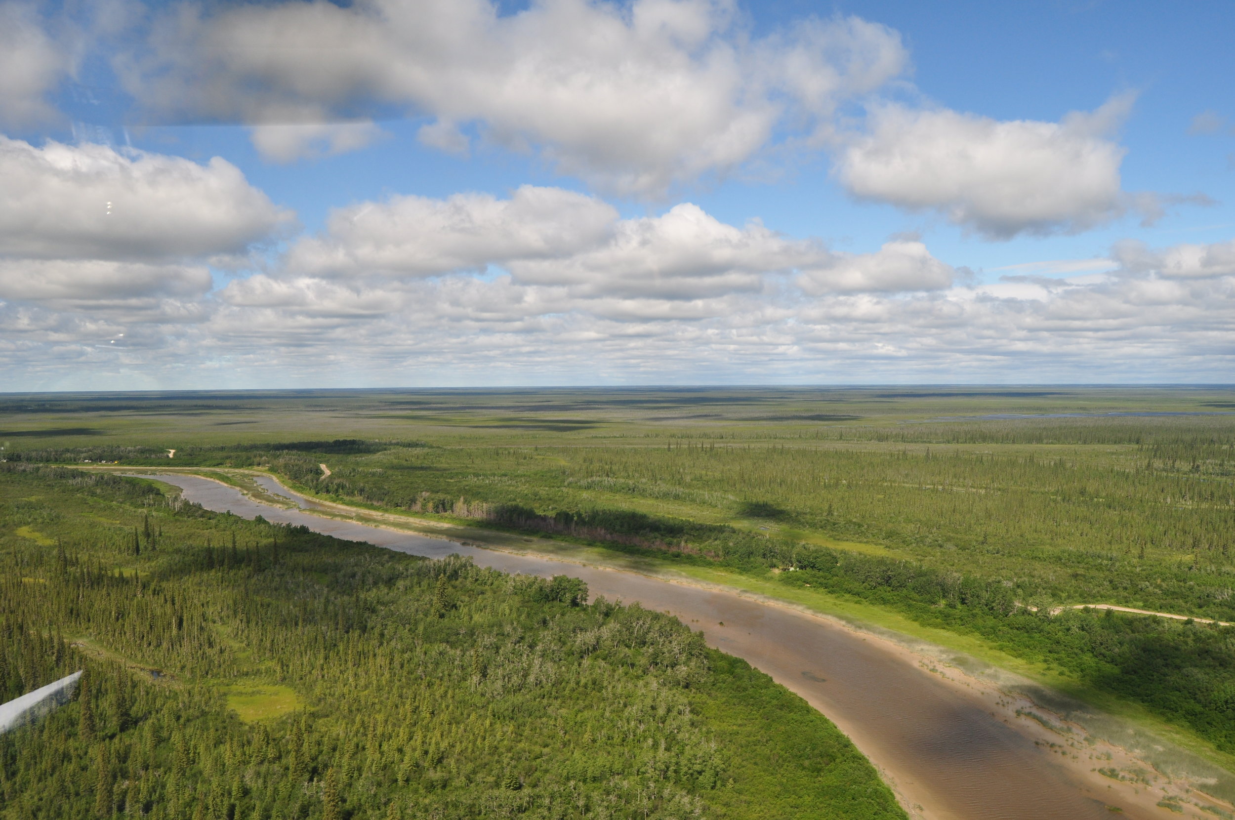
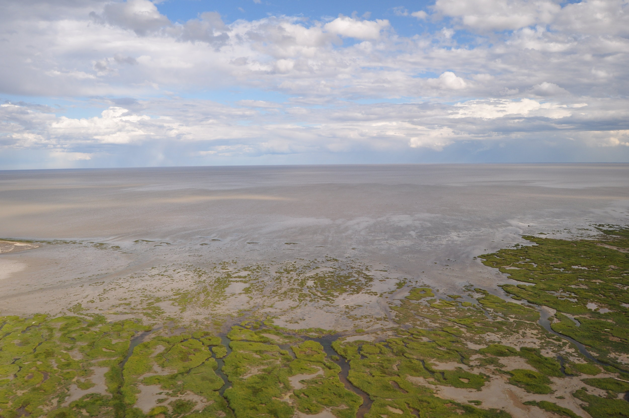
James Bay flats north of the Albany River. Photo: C. Friis

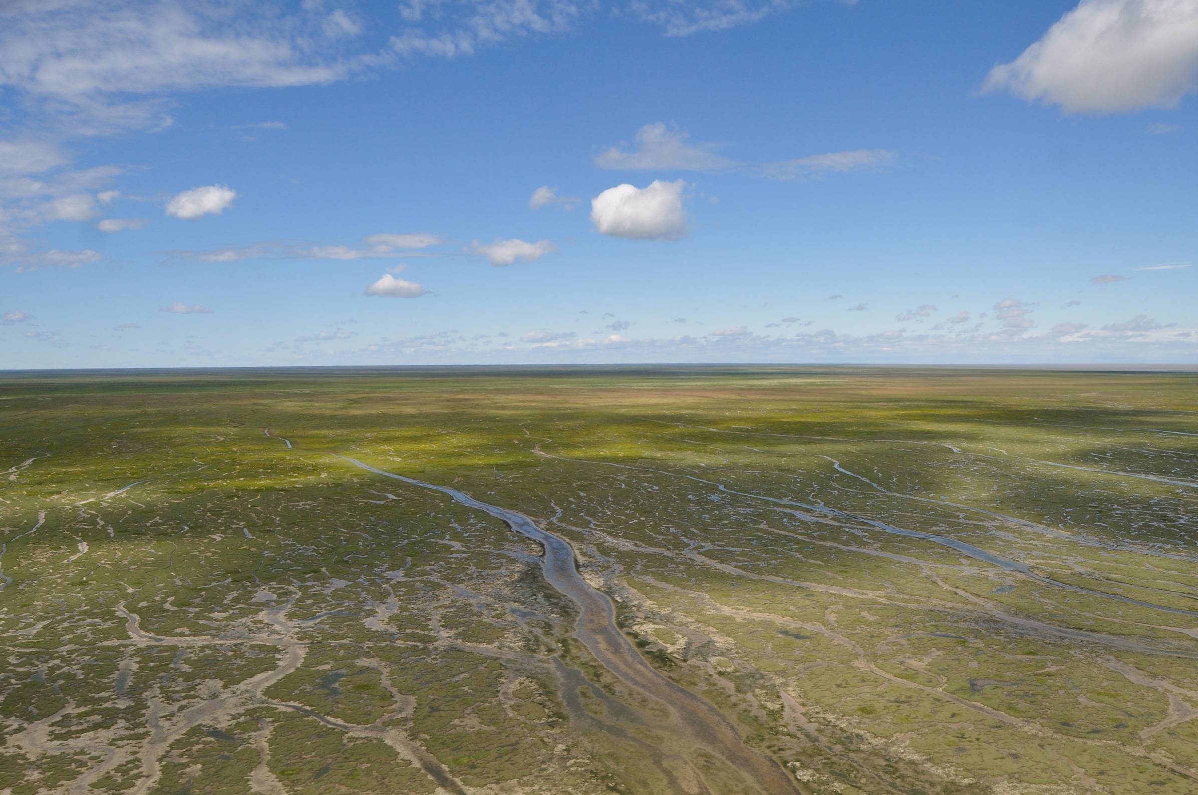
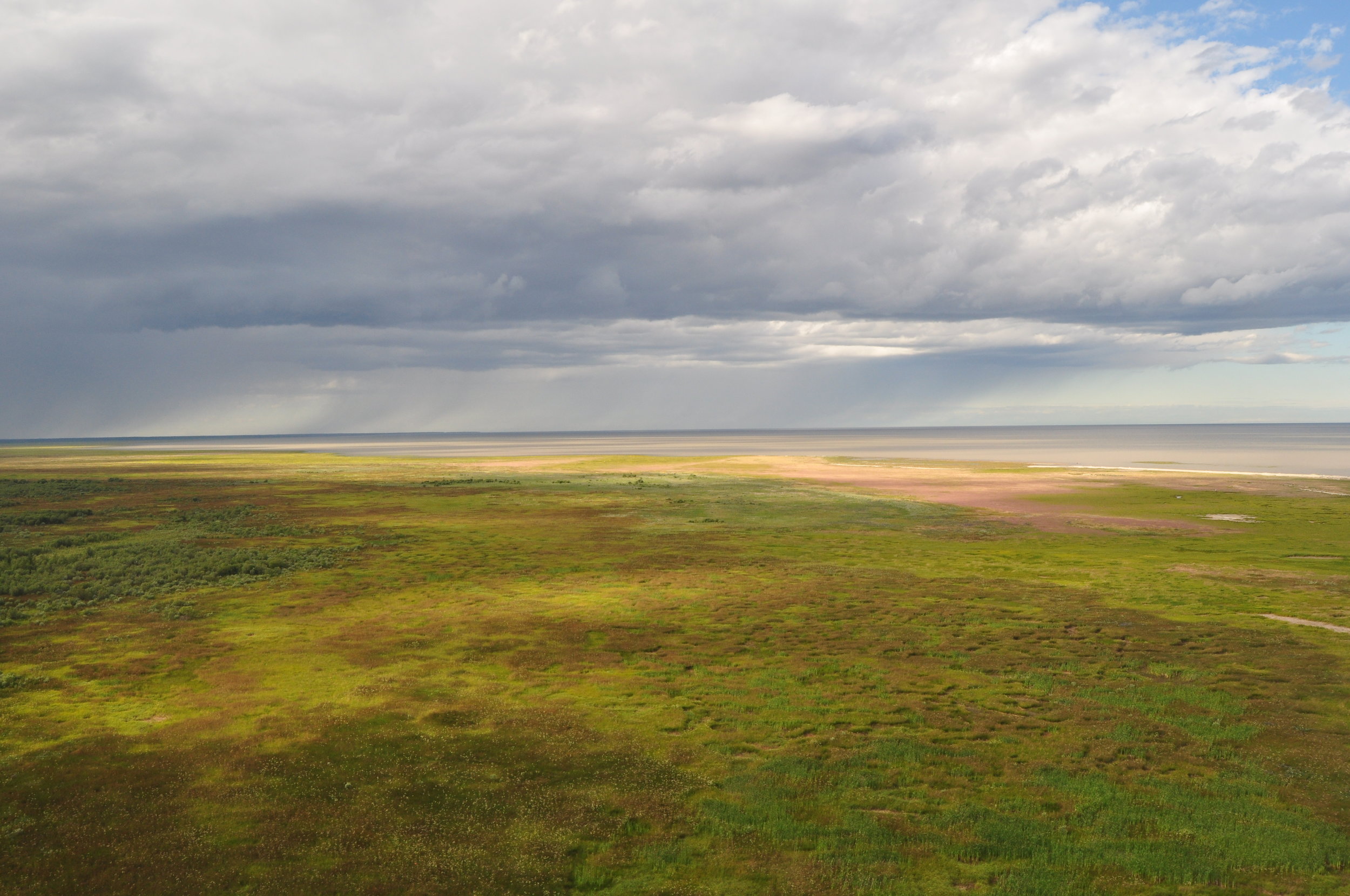
Longridge Point, with a view of what we call West Bay. Photo: C. Friis
Survey Summary
On 8 and 9 August 2017, Dr. Guy Morrison (Environment and Climate Change Canada Emeritus Research Scientist), Christian Friis (ECCC’s Canadian Wildlife Service), and Allie Anderson (PhD. candidate at Trent University), along with Ontario Ministry of Natural Resources and Forestry pilot Dan Kennedy, flew a survey of the James Bay coastline from the Quebec border in the east to Ekwan Point in the northwest, including around Akimiski Island. The objective of the survey is to count shorebird species within smaller sectors generally delineated by tributaries or other land forms, allowing comparison to previous aerial surveys of the region. Small shorebird species (e.g., Least Sandpiper, Semipalmated Sandpiper, and White-rumped Sandpiper) are generally not easily identified from the air, despite flying at low levels. These are grouped into peeps. Medium and large shorebird species (e.g., Black-bellied Plover, Red Knot, and Hudsonian Godwit) are generally identifiable from the air; yellowlegs are generally counted as yellowlegs species. Surveys are conducted by helicopter at high tide, when birds are concentrated into roost locations. At low tide, birds are spread out across kilometres of exposed sandflats that are characteristic of the James Bay coast. The low profile of the coast generates vast expanses of exposed flats at low tide, making it virtually impossible to get a reliable count at this point in the tidal cycle. In addition to counting shorebirds, we had a VHF receiver hooked up to an antenna at the nose of the helicopter logging locations of nanotagged birds detected along the coast. A coordinated ground count was carried out by personnel stationed at the three field camps located at Northbluff Point, Little Piskwamish Point, and Longridge Point. Ground counts can be used to estimate species composition of the aerial counts.

Aerial survey team (L-R): Guy Morrison, Dan Kennedy, Christian Friis.
Guy and Christian met Dan in Timmins on 8 August and flew north to Moosonee. From here, we began the survey at the estimated high tide for the Sand Head station. From the mouth of the Moose River and flying west and north, we stopped at the field camp at Northbluff Point and picked up Allie and continued on the survey. We concluded the day once we reached Ekwan Point in the north. At this area, there is a complete tidal switch, whereby when looking north there are kilometres of exposed flats; low tide. Looking south, the tide water is right up into the intertidal zone; high tide. From the air it’s an interesting sight!
We flew to Attawapiskat, where we spent the night at the White Wolf Inn. High tide on the north coast of Akimiski was estimated to occur in the morning. We set out around 0900h and flew Akimiski Island. Survey conditions were not ideal for this portion of the work, but they were passable. We refuelled in Attawapiskat and flew south to Moosonee to catch the high tide in the afternoon and survey the section from the Moose River and east to the Quebec border.
The area between Northbluff Point and Longridge Point harboured significant concentrations of shorebirds, along with the bulk of the Red Knots. Chickney Channel is far and away an area with significant concentrations of shorebirds and waterfowl. The bulk of godwits observed was at Chickney. East Point in Hannah Bay is another area with high concentrations of godwits, primarily Hudsonian Godwit. The southwestern section of Akimiski Island to Houston Point had the highest concentration of shorebirds around the island; although, as noted, the tide for this portion of the survey was not optimal.
Our initial impression from the flight was that numbers of birds were quite low, perhaps as a result of seeing fewer medium-sized and large shorebird species than the previous year. In 2016 Guy and Ken Ross flew the same survey route during the same period (9-12 August). The overall total in 2017 (about 105,600) was slightly lower than in 2016 (about 110,000). The total for small species was larger in 2017 (92,500 vs 77,000), though fewer medium-sized (7,200 vs 20,400) and large (5,900 vs 11,800) species were recorded. Most concerning is the low number of Red Knot observed. In 2016, over 10,000 individuals were observed. In 2017 about 3,000 were observed; 70% lower in 2017. Reasons for the low count are not well understood at this point, but the counts and conditions during spring migration at Delaware Bay were the worst in years, due in part to a late crab spawn in the bay. The poor conditions in Delaware Bay could affect the birds’ ability to gain enough resources to migrate successfully to Arctic breeding grounds. Dr. Larry Niles, who along with Dr. Amanda Dey head up the spring migrant shorebird research on the New Jersey side of Delaware Bay, estimates 30% of the Red Knot population reached the optimal weight (estimated at 180g) this spring in Delaware.
Conditions on the James Bay coast are very dry, which could affect resource availability for the birds. For example, a number of small tributaries that normally run and provide drinking water for the field crews at our study sites are dry, along with dry marsh conditions. A number of wells dug for drinking water at Northbluff Point are not replenishing, and rainfall amounts are extremely low so far.

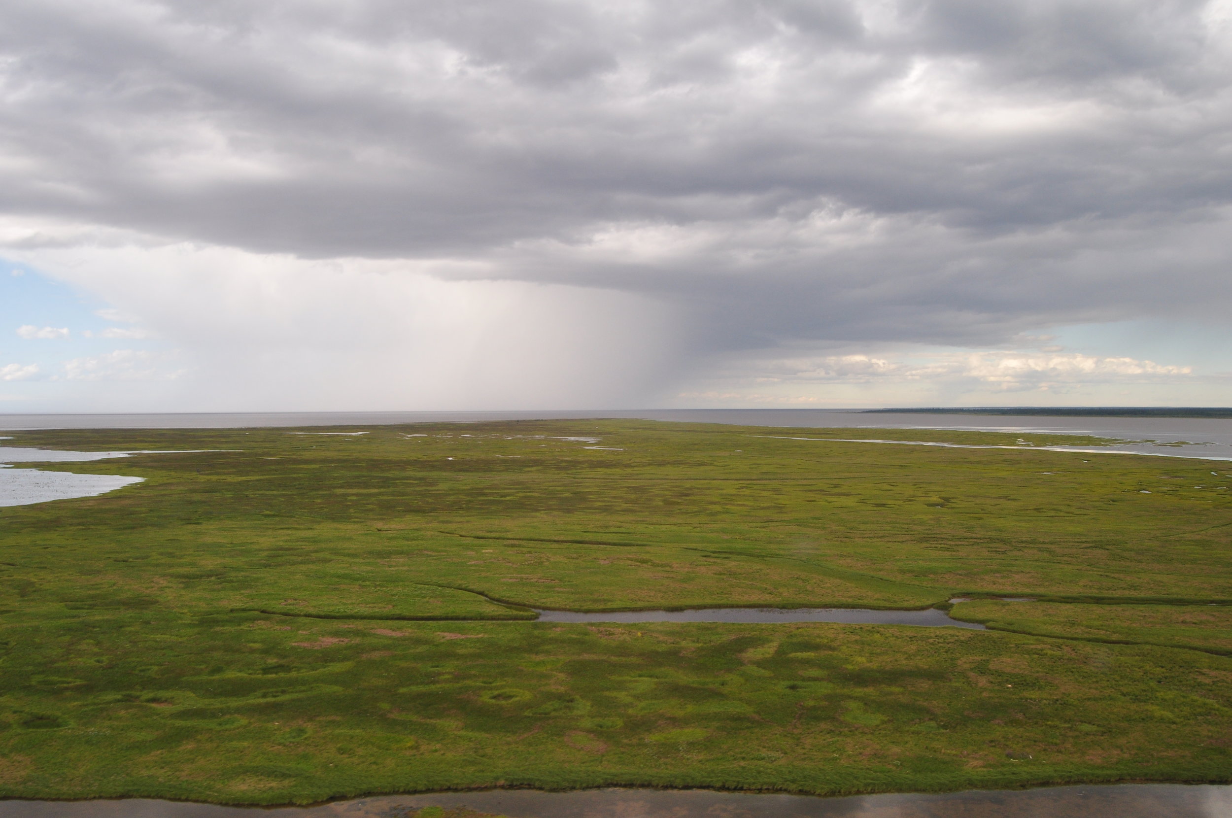
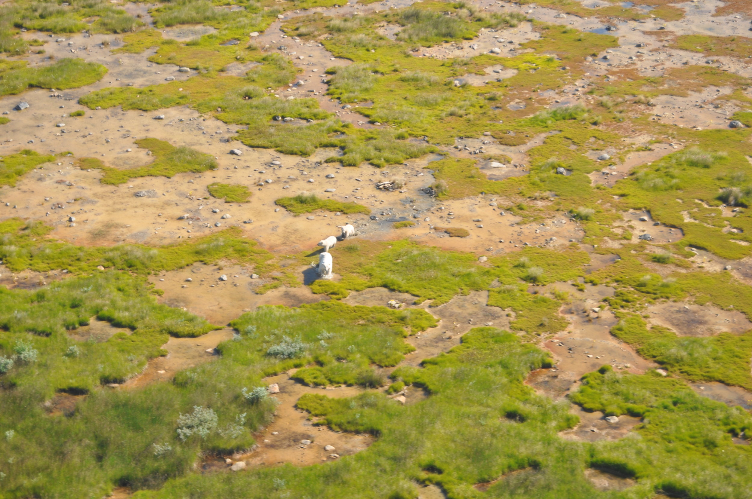
Flats at Northbluff Point looking south. Photo. C. Friis
In summary, the total count of all shorebirds in 2017 was close to the total observed in 2016 (109,190 in 2016; 105,605 in 2017). The reduced number of medium and large shorebirds included in the total were made up for in an increased number of small shorebirds observed this year. The large concentrations of shorebirds and significant numbers of Red Knots and Hudsonian Godwits clearly identify James Bay as a significantly important area for staging migrant shorebirds!